Software for determining how to site a radio antenna is usually very expensive (we own some), hard to learn and hard to use. It’s absolutely perfect for radio-engineering professionals, and not so good for the rest of us.
RFree is Prometheus’ web-hosted free-to-use service for engineers and applicants to locate (and relocate) potential LPFM sites and frequencies. RFree’s primary purpose is to know which locations and frequencies satisfy FCC requirements, so you can be confident filing your FCC application.
Use RFree’s maps to choose a potential antenna site in a few seconds and it’ll tell you what frequencies might be available there, the site elevation, and the antenna height-above-average-terrain (HAAT) for a chosen antenna height. RFree also links directly to the FAA registration checker website, TOWAIR, so that you don’t have to type the coordinates in by hand.
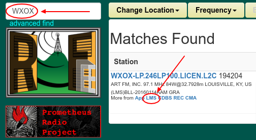
It’s also just a quick way to look up a station and find links to its records at the FCC.

We developed it for the 2013 LPFM application window, and it was partly funded by a small grant from the Knight Foundation. Since 2013, RFree has had zero funding, but we keep it working so that we can do engineering studies for LPFM stations, and so can you! Full disclaimer: no funding means no current documentation nor usability testing. Although LPFM is supposed to be simple, it has some parts which are complicated enough that RFree is also complicated. You may still need an engineer, even with RFree.